
Yorkshire Maps
Durham Maps
( Page 2 of 4 )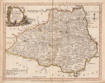
Joseph Ellis 1765 [1773]

Emanuel Bowen 1767
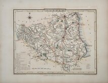
John Cary 1789 [1805]
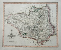
John Cary 1801
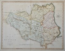
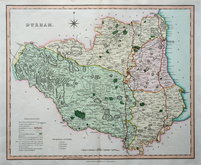
John Cary 1809
George Cole 1810
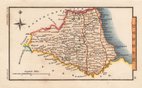
Robert Rowe 1816 [1830]
Sidney Hall 1820


43x37 cm
FIRST COUNTY MAP TO SHOW LONGITUDE FROM LONDON AND LOCAL TIME
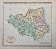
EPISCOPATUS DUNELMENSIS Vulgo The Bishopric of DURHAM By Robt. Morden.
Sold by Abel Swale Awnsham & Iohn Churchil.
Copper engraving produced by Robert Morden for publication in Edmund Gibson's translation of William Camden's Britannia first published by Abel Swalle and Awnsham & John Churchill in 1695. This is the first series of maps to mark longitude in minutes of time (top border) as well as in degrees (bottom border). For most counties longitude is based on the meridian of St. Paul's, London.
The work was republished in 1722, 1730, 1753 and, finally in 1772. The plate was updated for the 1722 edition mostly with changes to place name spellings and was reworked for the 1753 edition due to wear on the plate.
Small top margin with repairs to chips close to printed edge. Repairs to centrefold splits top and bottom. Some light creasing. Later hand colour.
Quick Links

Durham Prints

Northumberland Maps
×