
Westmorland Maps
Cumberland Maps
( Page 3 of 6 )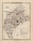
George Cole 1805
Henry Cooper 1808
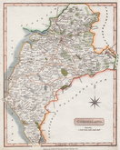
John Cary 1808 [1809]
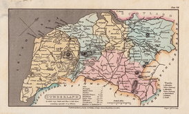
James Wallis 1812
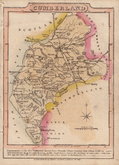
James Wallis 1812 [1814]
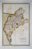
Daniel & Samuel Lysons 1816
Samuel Neele 1819
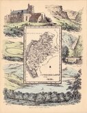
Reuben Ramble 1819 [1845]


23x36 cm
UNCOMMON.
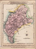
CUMBERLAND
Published Decr. 1,1815 by T.Cadell & W.Davies Strand, London.
Mutlow Sc. Russell Court.
Copper engraving by Henry Mutlow (1756?-1826), engraver to King George III, published by T. Cadell & W. Davies Strand, London 1816 in Vol. 4 of Daniel & Samuel Lysons Magna Britannia. The intention to publish a history of every county of England and Wales was not realised with only 6 counties completed.
Offsetting caused by folding the map for binding before the ink was completely dry, otherwise a nice map.
Quick Links


Northumberland Maps

Scotland Maps
×