
Berkshire Maps
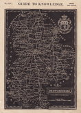
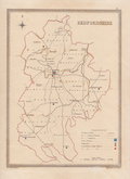
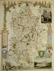
Bedfordshire Maps
( Page 3 of 4 )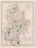
Sidney Hall 1830 [1846]
Roger Creighton 1831
Roger Creighton 1831
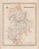
Gray & Son 1833
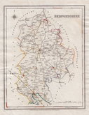
Joshua Archer 1833
Roger Creighton 1835
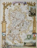
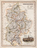
Thomas Moule 1836 [1852]
Thomas Moule 1836 [1852]


33x47 cm
LARGE CLEAR MAP NEAT HAND COLOUR.
A MAP OF BEDFORDSHIRE, ENGRAVED FROM AN ACTUAL SURVEY, with Improvements.
Haywood Del. | Sudlow Sc.
Engraved for J. Harrison, No.115, Newgate Street, as the Act directs, 15 Aug. 1788.
This series of county maps were issued at erratic intervals over a four year period bearing dates between 1787 and 1789. The atlas Maps Of The English Counties… was first issued in 1791 by J. Harrison and remained on sale for several years with various price reductions recorded.
The border is divided and numbered at 5' intervals with a graticule over the map.
Hand coloured. Good margins.
Betty Chambers Printed Maps of Bedfordshire Ref. 48 (ii)
Quick Links


Buckinghamshire Maps
Bedfordshire Prints
×