
Berkshire Maps
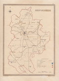
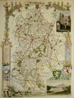
Bedfordshire Maps
( Page 3 of 4 )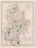
Sidney Hall 1830 [1846]
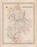
Roger Creighton 1831
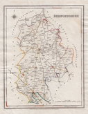
Roger Creighton 1831
Gray & Son 1833
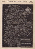
Joshua Archer 1833
Roger Creighton 1835
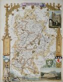
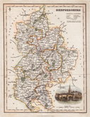
Thomas Moule 1836 [1852]
Thomas Moule 1836 [1852]


18x23 cm
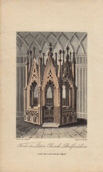
FROM "DUGDALES CURIOSITIES" ORIGINAL OUTLINE COLOUR.
BEDFORDSHIRE.
Drawn and Engraved by J. Archer, Pentonville, London.
Drawn and engraved by Joshua Archer for publication in Curiosities of Great Britain, England and Wales Delineated…by Thomas Dugdale.
The work was first published by L. Tallis in 1842 and was republished a number of times until 1860. The maps also appeared in The Universal English Dictionary…by the Rev. James Barclay and finally in Tallis's topographical dictionary of England & Wales in 1860.
With the full complement of railways, this example is from the 1848 edition in original outline hand colour.
Betty Chambers Printed Maps of Bedfordshire Ref. 99 (vii)
Quick Links


Buckinghamshire Maps
Bedfordshire Prints
×