
Atlases & Road Books
Map Books
( Page 9 of 14 )
Moule's County Maps East

Great Maps

Maps and Map-makers

Printed Maps of Lincolnshire

Antique Maps

Christopher Saxton's Maps

Country Life Book of Antique Maps

County Maps & Histories Hertfordshire
£20
Hertfordshire Publications 1986 Ref: Rb6485
Add to basket
Thanks,Your Product Has Been Added To Basket
Request Condition Report
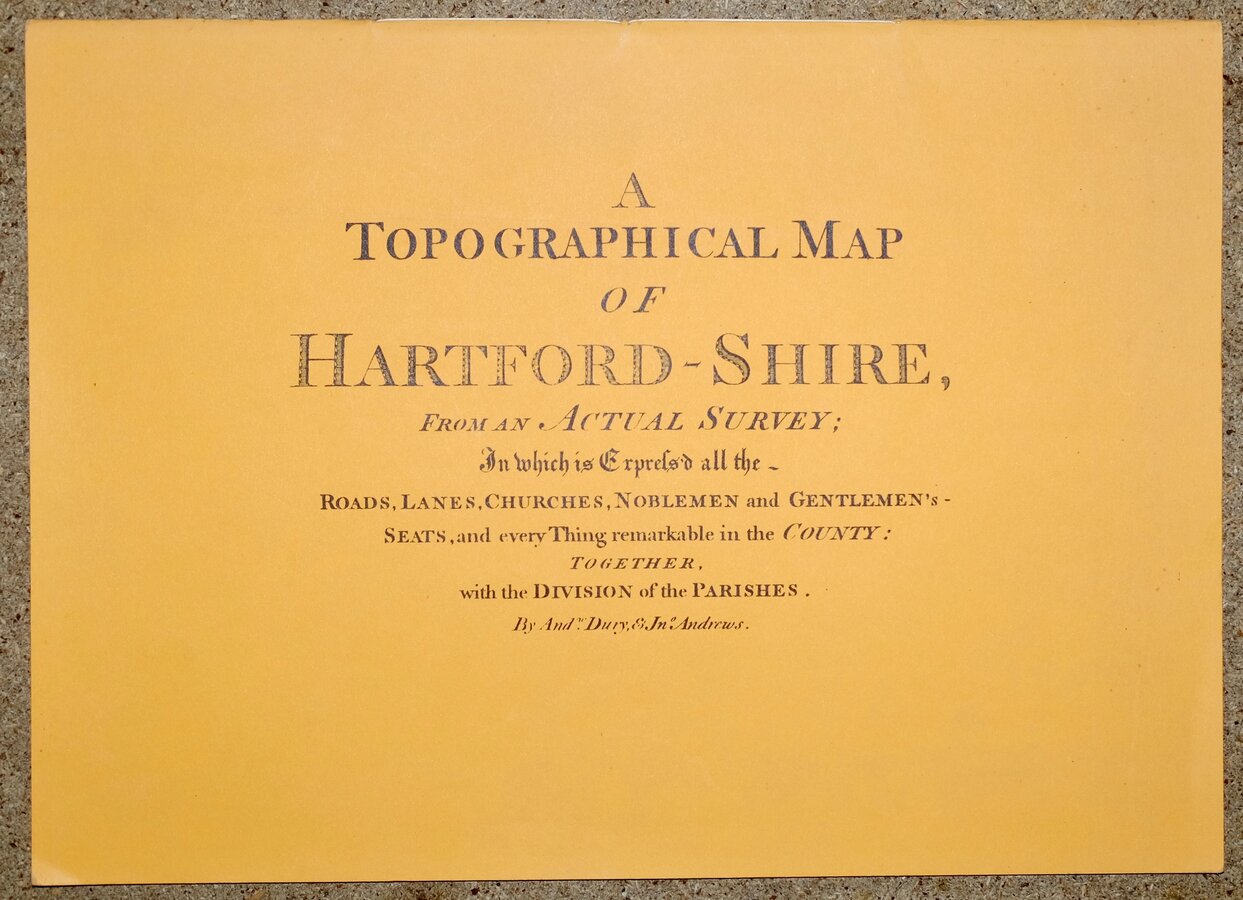
A TOPOGRAPHICAL MAP OF HARTFORD-SHIRE,
FROM AN ACTUAL SURVEY;
In which is Expres'd all the -
ROADS, LANES, CHURCHES, NOBLEMEN and GENTLEMEN'S -
SEATS, and every Thing remarkable in the COUNTY:
TOGETHER, with the DIVISION of the PARISHES.
By Andw. Dury, & Jno Andrews.
HERTFORDSHIRE PUBLICATIONS East Division Library Headquarters 1986
Card covers, 44 pages. 39x28cm.
First published in 1766 in nine sheets, this large scale (1.95 inches to a mile) map of Hertfordshire by Andrew Dury and John Andrews is reproduced at a slightly smaller scale on 16 pages with the Index map reproduced on the same reduced scale as the original on 2 double pages and the title page on the main map also reproduced at this reduced scale. Large scale plans of Hertford and St Albans by John Andrews and Matthew Wren are reproduced on double pages.
Fine condition throughout.
Quick Links
Magazines
Antiquarian
×