
Atlases & Road Books
Map Books
( Page 5 of 14 )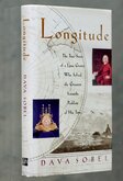
Longitude
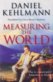
Measuring the World Daniel Kehlmann
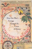
Nathaniel's Nutmeg
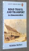
Road Travel in Gloucestershire
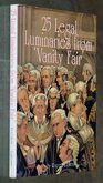
Legal Luminaries Vanity Fair

Map of a Nation

Atlas of Atlases
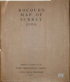
Rocques Map of Surrey 1931
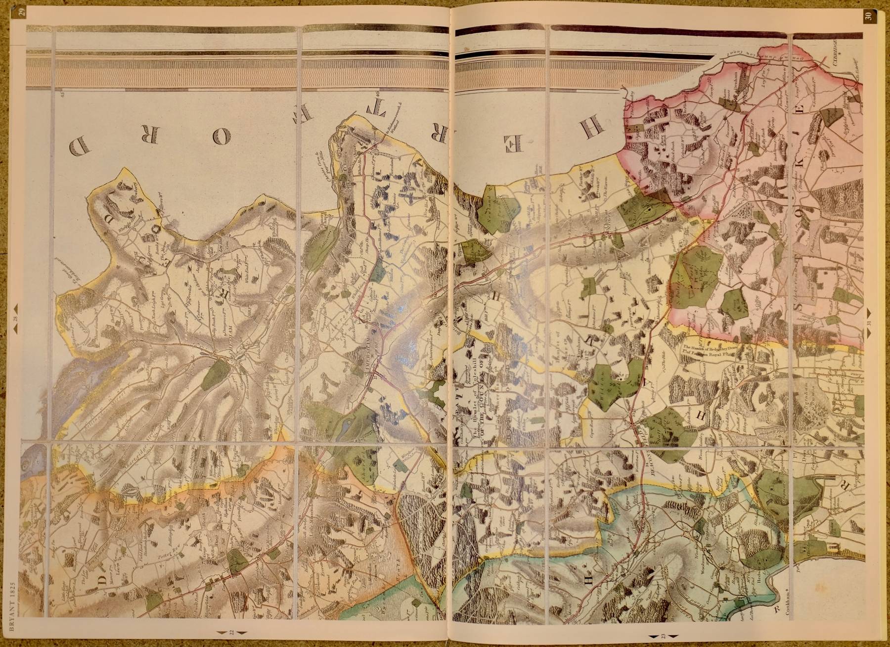
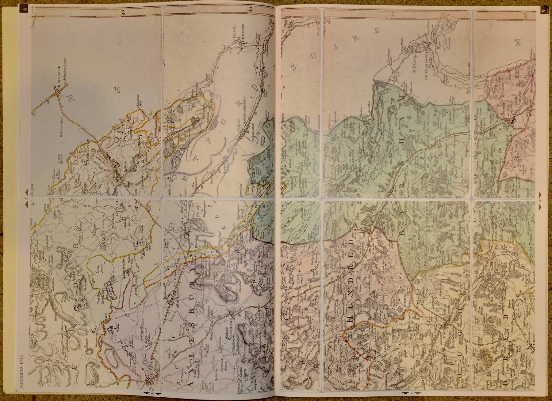
£50
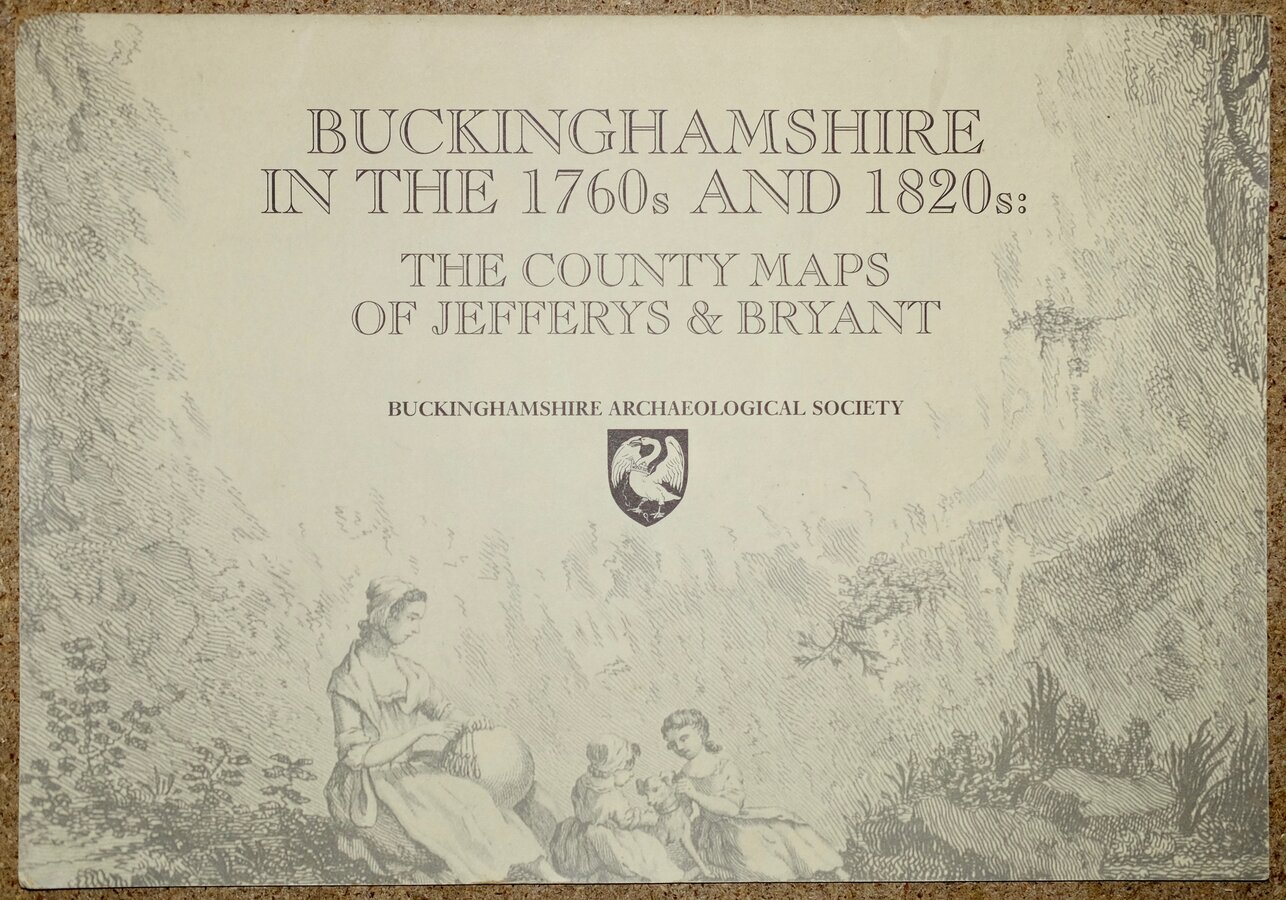
BUCKINGHAMSHIRE ARCHAEOLOGICAL SOCIETY 2000 Ref: Rb6484
Add to basket
Thanks,Your Product Has Been Added To Basket
Request Condition Report
BUCKINGHAMSHIRE IN THE 1760s AND 1820s:
THE COUNTY MAPS OF JEFFERYS AND BRYANT
Reproduced in full colour and to their original scales
and with an introduction by
Paul Laxton
Geography Department, University of Liverpool
BUCKINGHAMSHIRE ARCHAEOLOGICAL SOCIETY 2000
Illustrated card covers. Large size: 44x31cm. 33 pages.
Fine quality full size colour reproductions of Thomas Jefferys Buckinghmshire map published in 1770 and Andrew Bryant's map of Buckinghamshire published in 1825.Fine condition throughout.
Quick Links
Magazines
Antiquarian
×