
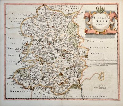
Shropshire Maps
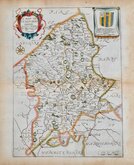
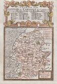
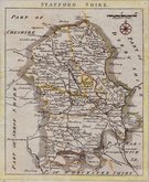
Staffordshire Maps
( Page 1 of 4 )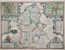
John Speed 1610 [1627]

John Speed 1610 [1676]
Richard Blome 1673

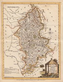
Robert Morden 1695
Emanuel Bowen 1720
Thomas Read 1744 [c.1769]
Joseph Ellis 1765 [1773]

John Cary 1789 [1805]


75x53 cm
UNCOMMON. REDUCED FROM HIS LARGE SCALE SIX-SHEET MAP.
THE COUNTY OF STAFFORD, Reduced from the Improved Map in Six Sheets Surveyed by W: YATES; Planned by a Scale of Two Miles to an Inch.
LONDON Pubished by W. Faden Geographer to his Majesty, and to H.R.H. the Prince of Wales, -Charing Cross.- Augt. 10th. 1798.
Engraved by Thomas Foot, Western Place, St. Pancras.
Published in Rev. Stebbing Shaw's History and Antiquities of Staffordshire... London. 1798, this finely engraved map by Thomas Foot, is a reduction of the original survey and map by William Yates printed on six sheets, published in 1775 by William Faden.
Thomas Foot (fl.1790-1825) became principal engraver to the Board of Ordnance at the Tower in 1801 at a wage of three guineas and a half per week but was imprisoned for debt in the King's Bench in 1804.
Folds as issued. Some offsetting. Archival re-inforcement to fold interestions verso. Full bright wash hand colour. Heavy paper. Strong impression. Good margins. An uncommon map.
Quick Links

Worcestershire Maps

Derbyshire Maps
×