
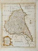
Whole of Yorkshire
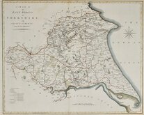
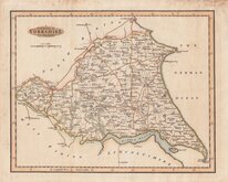
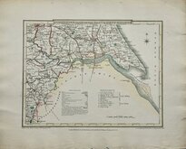
Yorkshire East Riding
( Page 1 of 2 )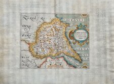
William Hole 1607
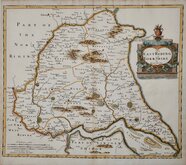
Robert Morden 1695
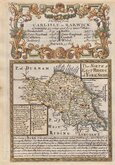
Emanuel Bowen 1720
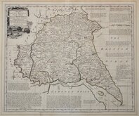
Thomas Kitchin 1763 [1777]
Thomas Kitchin 1764
John Cary 1789 [1805]
Benjamin Baker 1796
George Cole 1808


25x20 cm
NEAT HAND COLOUR.
EAST RIDING OF YORKSHIRE.
and Liberty of Ainsty
Neele sc. Strand
Drawn and engraved by Samuel John Neele (1758-1824) and based on John Cary's 'quarto' map of 1793. The early publication of this series of maps is complex with loose issues and parts issues for many counties and publication by J & J Cundee and by J Robins & Co. the first main publication with all the county maps was The New British Traveller; or, modern panorama of England and Wales... published about 1810.
Samuel John Neele was a prolific engraver working from Russell Court from 1781 and 352 Strand from 1785-1824. He traded with his younger brother George Neele as “S.& G. Neele” 1826-1824 and with his son James Neele as “Neele & Son” 1816-1824.
Small margins. Fine hand colour.
Quick Links


Yorkshire North Riding

Yorkshire West Riding
×