
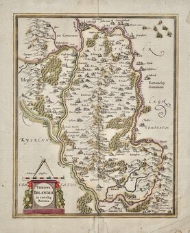
Parts of Ireland & Counties
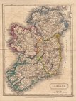
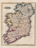
Whole of Ireland
( Page 1 of 3 )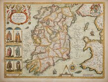
John Speed 1676
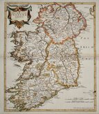
Robert Morden 1695

Pieter van der Aa 1729
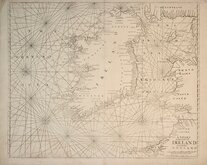
Mount & Page 1756
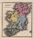
Thomson 1820
James Wyld 1824
Sidney Hall 1826
Conrad Malte-Brun 1828


£10
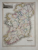
John Bartholomew T Nelson Ref: 5998.30
Add to
basket
Thanks,Your Product Has Been Added To Basket

31x47 cm
COLOUR PRINTED MAP. TOWN PLANS BELOW AND VERSO.
IRELAND
The Edinburgh Geographical Institute | John Bartholomew & Co.
Double page colour printed lithograph published in The English Imperial Atlas and Gazetteer of the World by J.G. Bartholomew, F.R.S.E., F.R.G.S. London T. Nelson & Sons, Paternoster Row Edinburgh and New York.
Inset map of LOUGH LEANE and Environs of DUBLIN.
6 Ireland environ maps verso; LONDONDERRY, BELFAST, SLIGO, GALWAY, CORK, WATERFORD HARBOUR. 4 Scotland environ maps: INVERNESS, ABERDEEN, PERTH, DUNDEE.
Good condition except some underlining to place names on the main map in blue and red crayon.
Quick Links

Whole of Britain & British Isles

Scotland Maps
×