
Yorkshire Maps
Westmorland Maps
( Page 3 of 4 )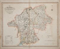
William Ebden 1833
Robert Scott 1833 [1843]
Joshua Archer 1834
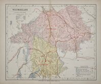
John & Charles Walker 1835 [1887]
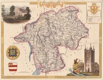
Thomas Moule 1837 [1845]
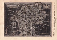
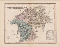
James Pigot 1839
Joshua Archer 1842 [1858]
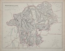
F. P. Becker 1845

£120
Robert Butters Robert Butters Ref: 6043.27
Add to
basket
Thanks,Your Product Has Been Added To Basket

9x14 cm
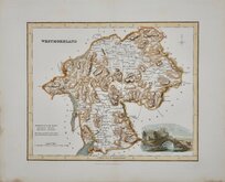
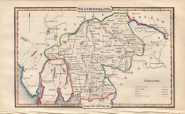
RARE "UPSIDE-DOWN" SERIES
WESTMORELAND.
The engraver or engravers of this series of maps are unknown and the maps are known by the first publisher, Robert Butters, a Fleet Street printer, who issued them in An Atlas of England... in 1803. They are also known as the "upside-down series" as many of the maps are engraved with North to the bottom of the page. In fact, the county maps are variously orientated with North to the top, left, right or bottom of the page. The work was possibly intended for school use and the odd orientation of the maps may have been done to appeal to young minds. This represented Robert Butters' only serious venture into cartography but unlike the huge success of John Cary's publication The Traveller's Companion, on which these maps were based, Butter's publication was limited to this single issue. John Hatchard acquired the plates later the same year issuing them in a two-volume work, The Picture of England 1803 and 1804. The publications were very small and examples are rare.
This map of Westmorland is orientated with North to the right but the North point is incorrectly engraved pointing south.
Light browning to right margin. A good example from the first issue of 1803 in original hand colour of a rare map.
Quick Links


Cumberland Maps

Lancashire Maps
×