
Lancashire Maps
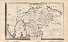
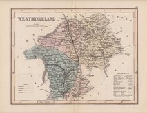
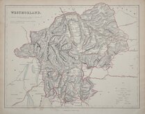
Westmorland Maps
( Page 3 of 4 )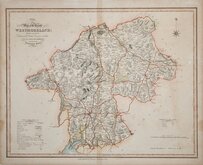
William Ebden 1833
Robert Scott 1833 [1843]
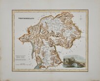
Joshua Archer 1834
John & Charles Walker 1835 [1887]
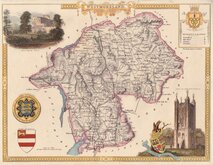
Thomas Moule 1837 [1845]
James Pigot 1839
Joshua Archer 1842 [1858]
F. P. Becker 1845


Request
Condition Report
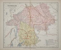
PAIR OF HAND COLOURED LITHOGRAPH PRINTED MAPS
CUMBERLAND AND WESTMORLAND REVISED ACCORDING TO THE LATEST ORDNANCE SURVEY Divided into 5 mile squares.
Pair of hand coloured lithograph printed maps from Bacon's New Large Scale Atlas of the British Isles G W Bacon, London 1884.
These are not a true matching pair with some differences in the colours.
Bottom sheet has splits top and bottom at centrefold affecting map area.
Each sheet measures approx 47x30cm.
Quick Links


Cumberland Maps

Yorkshire Maps
×