
Other Large Scales
Twenty five inch and 1:2500
( Page 9 of 17 )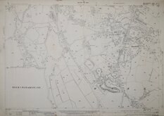
Potters Bar Middlesex 1936
Potters Bar Middx 1936
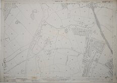
Hadley Wood Herts 1937
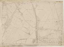
Winchmore Hill Middx 1937
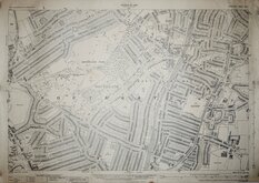
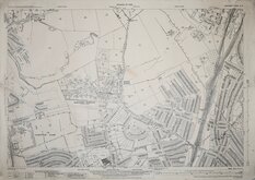
Southgate Middx 1937
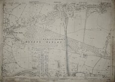
Monken Hadley Herts 1937
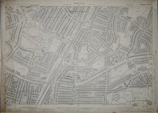
Palmers Green Middx 1937
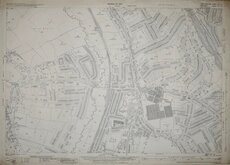
Whetstone Middx 1937

£10
Ordnance Survey Ordnance Survey Ref: SP9700
Add to
basket
Thanks,Your Product Has Been Added To Basket
Request
Condition Report
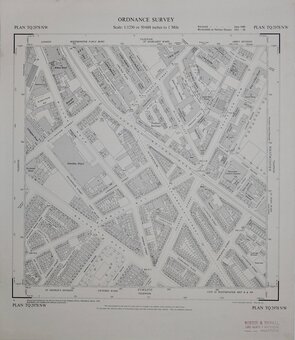
ORDNANCE SURVEY
NATIONAL GRID PLANS Scale 1:2500 PLAN SP 9700
Made and Published by the Director General of the Ordnance Survey, Southampton.
1973.
Covering Latimer Road and River Chess, Bottom Lane, Hill Farm.
Hanging strip verso at right edge. "Record map" stamp upper right corner. Good condition.
Quick Links


Six inch and 1:10000
Fifty inch and 1:1250
×