
Fifty inch and 1:1250
Twenty five inch and 1:2500
( Page 3 of 17 )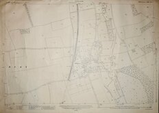
Littlebury Essex 1921
Manuden Essex 1921
Farnham Essex 1921
Brent Pelham Herts 1921
Furneux Pelham Herts 1921
Knebworth Station Datchworth Herts 1923
Wadesmill Herts 1923
Welwyn Garden City Herts 1923

£15
Ordnance Survey Ordnance Survey Ref: tl3805
Add to
basket
Thanks,Your Product Has Been Added To Basket
Request
Condition Report
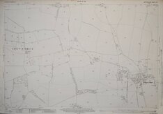
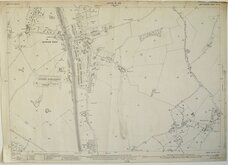
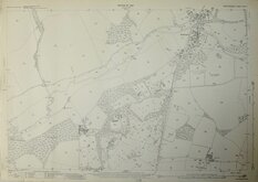
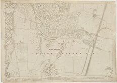
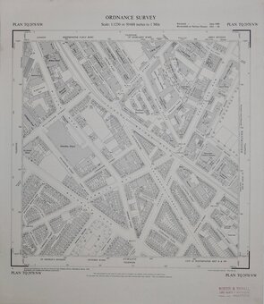
ORDNANCE SURVEY
NATIONAL GRID PLANS Scale 1:2500
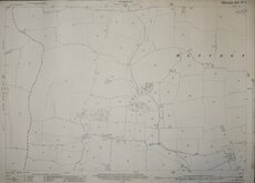
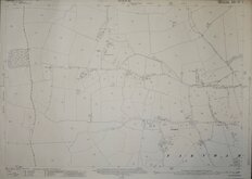
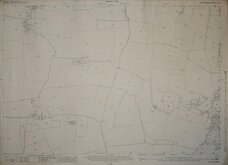
PLAN TL3805-3905
Made and published by the Director General of the Ordnance Survey, Southampton.
Part surveyed Sep, Oct, Nov 1967 part reconstituted from former County Series plans and revised Mar 1972
Showing Lower Nazeing, St Leonards Road, Perry Hill, Middle Street, Paynes Lane.
Unfolded, very good condition.
Quick Links

Six inch and 1:10000

Other Large Scales
×