
Twenty five inch and 1:2500
Six inch and 1:10000
( Page 12 of 22 )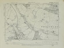
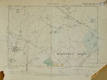
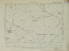
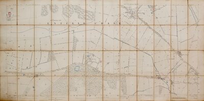
HERTS. Harpenden 1901
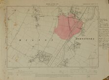
HERTS. Flamstead. 1901
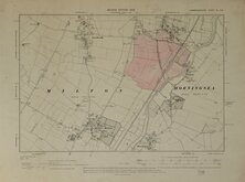
HERTS. Flamstead. 1901
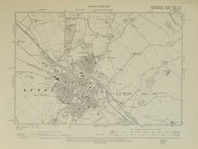
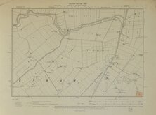
BEDS. Luton. 1902
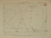
CAMBS. Waterbeach. 1903
CAMBS. Waterbeach. 1903
CAMBS. Isle of Ely 1903
CAMBS. Denny End 1903

£10
Ordnance Survey Ordnance Survey Ref: KentXXXIXNW6
Add to
basket
Thanks,Your Product Has Been Added To Basket
Request
Condition Report
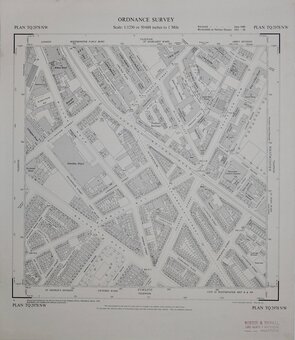
KENT. SHEET XXXIX.N.W.
SURREY. PART OF SHEET XXVIII
KENT. SHEET XXXIX.S.W.
SURREY. PART OF SHEET XXVIII
PROVISIONAL EDITION
Revision of Kent 1936 Surrey 1910 & part Revision 1933 with addirions in 1947.Printed and Published by the Director General of the Ordnance Survey, Chessington, Surrey, 1952.
Scale: 6 Inches to a Mile.
Two quarter sheets joined.
Westerham. Hill Park. Crockham Hill. Limpsfield Common. Lakestreet Green. Moorhouse Bank.
Two sheets slightly misaligned otherwise good.
Quick Links
Fifty inch and 1:1250

One inch
×