
Scotland Maps
Northumberland Maps
( Page 3 of 4 )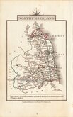
John Cary 1822
Roger Creighton 1831 [1842]
Joshua Archer 1833
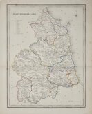
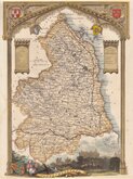
Robert Gray 1833
Robert Gray 1833 [1840]
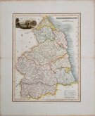
Thomas Moule 1837 [1844]
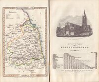
James Pigot 1839
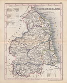
Joshua Archer 1842 [1848]

Request
Condition Report
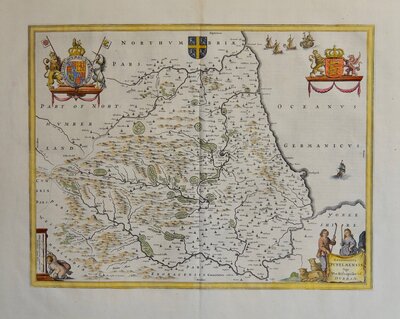
ORIGINAL OUTLINE COLOUR.
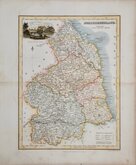
NORTHUMBERLAND
Drawn & Engraved by J.Archer, Pentonville, London.
Frst published in Curiosities of Great Britain, England and Wales Delineated…by Thomas Dugdale by L. Tallis in 1842. The work was re-issued a number of times until 1860. The maps also appeared in The Universal English Dictionary…by the Rev. James Barclay and finally in Tallis's topographical dictionary of England & Wales in 1860.
Good example from the 1846 edition of Dugdales Curiosities in original hand colour.
Whitaker, Maps of Northumberland ref. 537.
Quick Links


Cumberland Maps
Durham Maps
×