
John Cary
John Ogilby
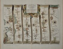
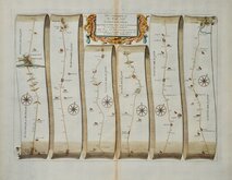
( Page 1 of 5 )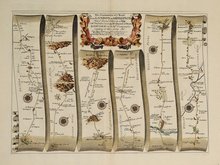
Islip - Bramyard 1675
Bramyard - Aberystwith 1675
Stamford - Newark 1675
Tuxford York 1675
York Durham 1675
London - Dover 1675
Newcastle - Berwick 1675
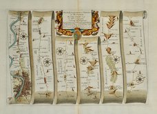
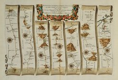
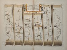
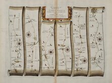
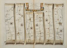
London - St.Davids Set of 4 Maps 1675


45x33 cm
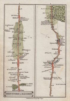
The Road from LONDON to St DAVIDS in com: Pembroke By JOHN OGILBY Esqr: His Ma:ties Cosmographer …
Firts part of the route from London to St Davids showing London, Hyde Park, Kensington Chelsea, Hammersmith, Chiswick, Turnham Green, Sutton Court, Ealing, Brentford, Syon House, Isleworth, Hounslow, Heston, Hounslow Heath, Stanwell, Harmondsworth, Longford, Colnbrook, Langley, Slough, Stoke Poges, Farnham Royal, Burnham, Hitcham, Taplow, Maidenhead, Hurley Bottom, Henley on Thames, Nettlebed, Huntercombe End, Nuffield, Ewelme, Benson, Shillingford, Warborough, Dorchester, Long Wittenham, Burcot, Clifton Hampden, Culham, Abingdon.
First issue without plate number issued 1675. Later issues numbered 14.
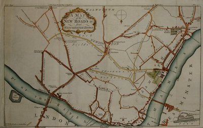
Fine detailed plan of London at the start of the road.
Very fine example with generous margins. Strong paper with fleur-de-lis watermark. Fine later hand colour.
Includes original typeset text description of the road.
For more information on Ogilby and his work see category heading.
Quick Links

Owen & Bowen
Roads by other Mapmakers
×