
John Ogilby
John Cary
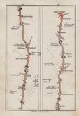
( Page 2 of 4 )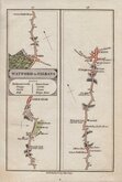
Watford St Albans 1790
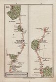
Barnet Welwyn 1790
London Chipping Ongar 1790
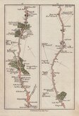
Stratford Chigwell 1790
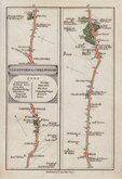
Stratford Chelmsford 1790
Brentwood Chelmsford 1790
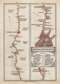
London Rochester 1790
New Cross Maidstone 1790


13x20 cm
(Strips 25 & 26)
Published by J.Cary July 1.st 1790.
From Cary's Survey of the High Roads from London... J. Cary London 1790.
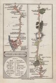
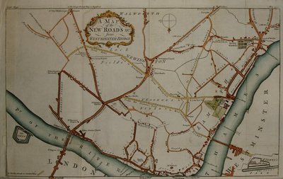
End of the road from Watford to Rickmansworth continued to, showing Amersham Common and Amersham, and the start of the road from Watford to St Albans showing Cassoiobury Park, Watford, Garston, Waterdale, St Stephens, St Albans.
Very good in original hand colour from the first edition.
Quick Links

Roads by other Mapmakers

Owen & Bowen
×