
Regional Maps of England & Wales
Folding Maps
( Page 8 of 17 )
Bartholomew Surrey 1937
Leeds Geographia 1937
Bartholomew Moray Firth 1940
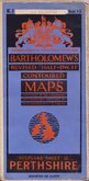
Bartholomew Perthshire 1941
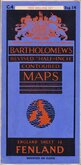
Bartholomew Fenland 1942
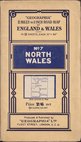
Geographia North Wales 1943
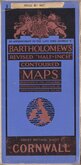
Bartholomew Cornwall 1944
Bartholomew South Yorks and Humber 1944
£325
Ebenezer Bourne John Fairburn Ref: Rm7630
Add to
basket
Thanks,Your Product Has Been Added To Basket
Request
Condition Report
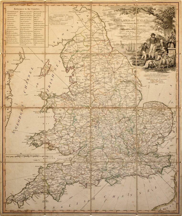
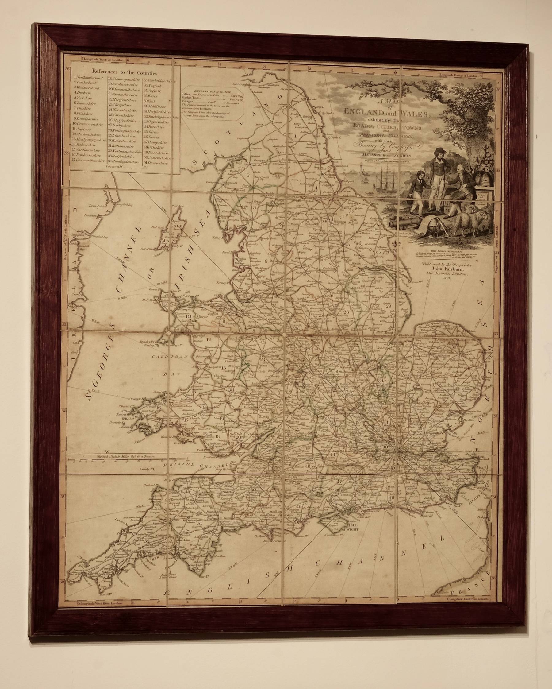
RARE EARLY VERSION OF FAIRBURN'S HANDERCHIEF MAP
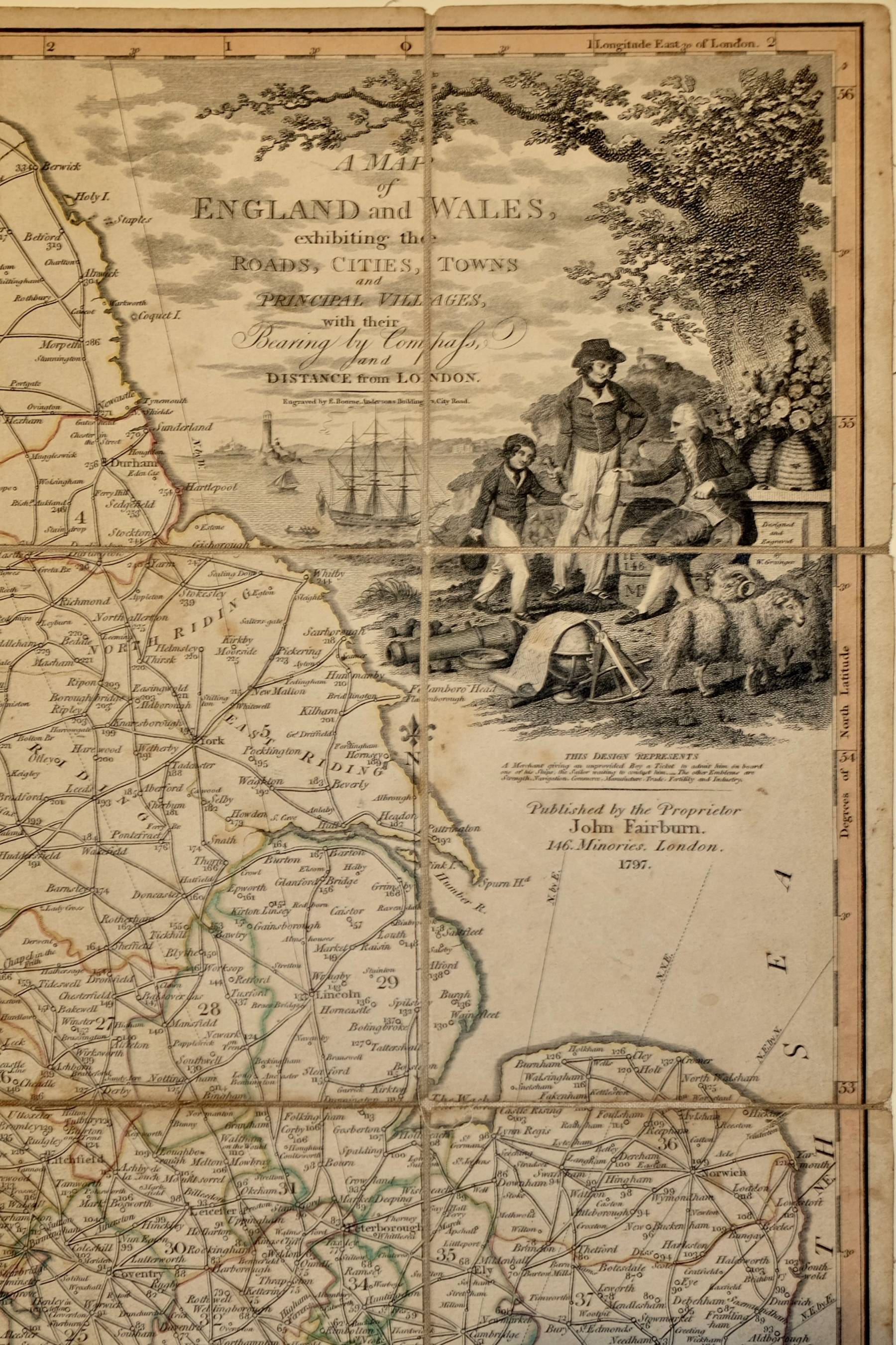
A MAP of ENGLAND and WALES, exhibiting the ROADS, CITIES, TOWNS and PRINCIPAL VILLAGES, with their Bearing by Compass and DISTANCE from LONDON.
Engraved by E. Bourne, Andersons Buildings, City Road.
Published by the Proprietor John Fairburn. 146 Minories, London, 1797.
The decorative title cartrouche is designed and engraved by W. Grainger and the note below reads:
THIS DESIGN REPRESENTS
A Merchant giving an unprovided Boy a Ticket to admit him on board one of his Ships, the Sailor waiting to conduct him. _ The other Emblems are Strength, Navigation, Commerce, Manufacture, Trade, Fertility and Industry.
Engraved by Ebenezer Bourne (1763?-1838), he was apprenticed to engraver, copperplate printer, print and book seller, Garnet Terry, known for his engraving of Taylor and Skinner's road maps of Scotland and Ireland. His output as an engraver is fairly modest, but notably he produced Fairburn's map of the country twelve miles around London 1798 and a number of foreign maps for William Faden and Robert Wilkinson. He was appointed as writing engraver at three guineas a week by the Ordnance Survey in 1802 and many early Ornance Survey maps bear his name as writing engraver. His death was registered at Newington in 1838 and his will, proved in May 1838, leaving his entire estated to his wife Elizabeth (nee Wright) who he married on 15th May 1790 at St. Clement Dane, was witnessed by father and son Benjamin Baker (1766-1841) map engraver, and George Baker (1803-1876) Ordnance Survey map engraver.
A fine detailed map with the fifty-two counties of England & Wales outlined in original hand colour, numbered and referenced in the key top left. Roads are prominently indicated with double lines, all Cities and Market Towns include their distance from London and compass bearings are engraved across the map centred on London.
First issue (?) segmented and pasted on linen, in original outline hand colour. Some old linen repairs to folds and intersections verso. Ink manuscript owners signatures verso. Some light overall spotting but generally very good. No case
A rare 18th century version of the map, better known in a later, but still rare, 19th century issue printed on silk as Fairburn's Handkerchief Map from about 1830.
OPTIONAL VINTAGE OAK FRAME AVAILABLE AT CHECKOUT FOR UK CUSTOMERS
Quick Links
Ordnance Survey Maps
English Counties
×