
Regional Maps of England & Wales
Folding Maps
( Page 14 of 17 )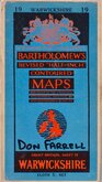
Bartholomew Warwickshire 1957
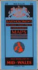
Bartholomew Mid-Wales 1958
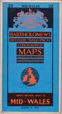
Bartholomew Mid-Wales 1958
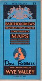
Bartholomew Wye Valley 1958
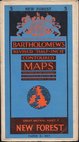
Bartholomew New Forest 1959
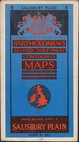
Bartholomew Salisbury Plain 1959
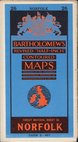
Bartholomew Norfolk 1959
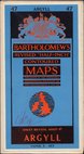
Bartholomew Argyll 1959


Request
Condition Report
BACON'S NEW SURVEY MAP OF THE COUNTIES OF BERKS, BUCKS & OXFORD.
SHOWING RAILWAYS, ROADS, ELEVATIONS & DISTANCES, ALSO LOCAL GOVERNMENT DIVISIONS AND PARISHES
Revised according to the latest Ordnance Survey
G. W. BACON & CO. LTD., ROYAL LONDON BUILDINGS, DEANSGATE, MANCHESTER.
COPYRIGHT - JOHN BARTHOLOMEW & CO., EDIN.
Segmented in 25 sections and pasted on linen in red cloth covers with gilt title to front & spine.
Index and Gazetteer left and right margins, Distance tables lower left, Explanation and Geological map lower right.
Good condition. Some wear to spine edges, top & bottom but all joints and folds secure.
Quick Links


English Counties

Ordnance Survey Maps
×