
Ordnance Survey Maps
Folding Maps
( Page 9 of 17 )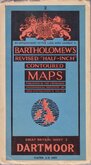
Bartholomew Dartmoor 1947
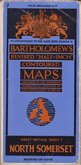
Bartholomew North Somerset 1947
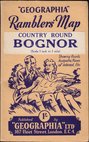
Geographia Bognor 1948
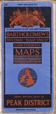
Bartholomew Peak District 1948
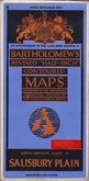
Bartholomew Salisbury Plain 1948
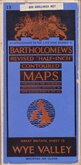
Bartholomew Wye Valley 1948
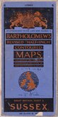
Bartholomew Sussex 1950
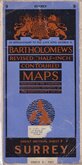
Bartholomew Surrey 1950


£65
Ordnance Survey Wyman & Sons Ref: 4232wg
Add to
basket
Thanks,Your Product Has Been Added To Basket
Request
Condition Report
GEOLOGICAL SURVEY OF ENGLAND AND WALES.
ORDNANCE SURVEY OF ENGLAND AND WALES.
INDEX MAP SHEET 12
Reduced from Old Series One-inch Map. | Railways inserted to December 1890.
Engraved and Published at the Ordnance Survey Office, Southampton, in 1891.
Reduced from One Inch Maps of the Geological Survey.| Published at the Geological Survey Office London 1892-_ Sir Arch. Geikie.L.L.D.F.R.S.Director General. | Reprinted, 1901_ J.J.H.T.Geall, F.R.S.,Director.
Wyman & Sons Ltd., Lith., Reading & London.
Hand coloured GeoLogical map dissected and pasted on linen with card covers. Pasted label in manuscript; "ENGLAND" | GEOL. "SOLID" | S.E.
Small manuscript note in top margin: Railway abandoned.
Minor wear to covers. Map in fine condition.
Quick Links


English Counties

Regional Maps of England & Wales
×