
Ordnance Survey Maps
Folding Maps
( Page 4 of 17 )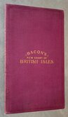
G W Bacon British Isles 1910
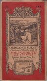
O.S. Bournemouth Swanage 1919
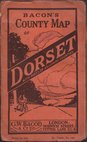
G W Bacon Dorset 1920
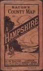
G W Bacon Hampshire 1920
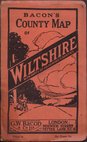
G W Bacon Wiltshire 1920
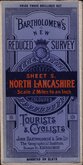
Bartholomew North Lancashire 1920
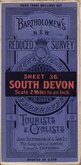
Bartholomew South Devon 1920
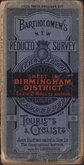
Bartholomew Birmingham District 1920


72x53 cm
Wexford & Waterford.
Cover title: PRICE TWO SHILLINGS NET BARTHOLOMEW'S NEW REDUCED SURVEY (paper title label missing. Hand written 'SHEET 7 (SE) IRELAND) COLOURED FOR TOURISTS & CYCLISTS JOHN BARTHOLOMEW & CO., The Geographical Instiute. EDINBURGH. MOUNTED ON CLOTH
Map title: SHEET 7. BARTHOLOMEW'S "QUARTER INCH TO MILE' MAP OF IRELAND WEXFORD & WATERFORD. REDUCED BY PERMISSION FROM THE ORDNANCE SURVEY.
Paper printed map pasted on linen in book style card covers, 3 yellow paper advertisements pasted verso.
Slight grubbiness to sea areas on map and lacking pasted paper title to front cover, otherwise good condition.
Quick Links


English Counties

Regional Maps of England & Wales
×