
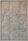
English Counties
Folding Maps
( Page 2 of 17 )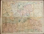
Cruchley Environs of London 1845
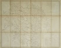
Charles Newton Yorkshire 1847
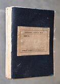
James Wyld 1862
Enfield Chase 1885
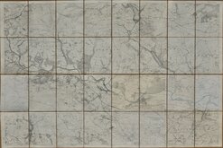
Leeds 1:500 1891
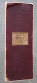
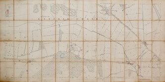
Burley Yorkshire 1:2500 1893
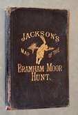
Jacksons Bramham Moor Hunt 1895
Ilkley and Otley 1895


57x45 cm
KENT AND PARTS OF ADJOINING COUNTIES
Published by "Geographia" Ltd., 55 Fleet St., London E.C.4. June 1932
Mounted on cloth with paper covers. Map overprinted in red. Map in fine condition but paper covers frayed and fragile with front cover loose.
Quick Links


Regional Maps of England & Wales

Ordnance Survey Maps
×