
Other Large Scales
Fifty inch and 1:1250
( Page 1 of 7 )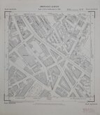
Westminster Pimlico London 1950
Tottenham Middx 1955
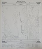
West Herts Golf Club 1960
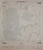
Rickmansworth Herts 1960
Croxley Green Herts 1960
Watford Herts 1960
Croxley Green Herts 1960
Edmonton Middx 1960

£10
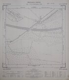
Ordnance Survey Ordnance Survey Ref: TL3710SE
Add to
basket
Thanks,Your Product Has Been Added To Basket
Request
Condition Report
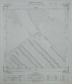
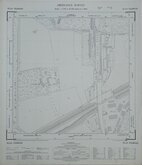
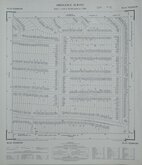
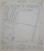
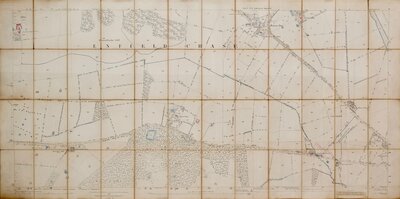
ORDNANCE SURVEY PLAN TL 3710 SE
Scale: 1:1250
Made and published by the Director General of the Ordnance Survey, Southampton.
1970
Showing: Stanstead Road, Old Highway, Murchison Road, Castle Road, Bridle Way South, Forres County Primary School, Nursery Road, The John Warner School.
Good condition.
Quick Links

Twenty five inch and 1:2500

Six inch and 1:10000
×