
Twenty five inch and 1:2500
Fifty inch and 1:1250
( Page 4 of 7 )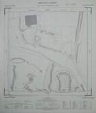
Ware Herts 1964
Ware Herts 1964
Ware Herts 1964
Ware Herts 1964
Ware Herts 1964
Ware Herts 1964
Kings Langley Herts 1964
Ware Herts 1965

£10
Ordnance Survey Ordnance Survey Ref: TL0806SW
Add to
basket
Thanks,Your Product Has Been Added To Basket
Request
Condition Report
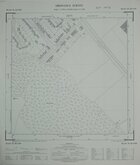
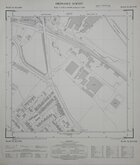
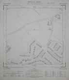
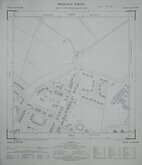
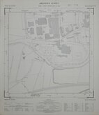
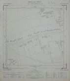
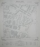
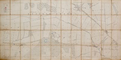
ORDNANCE SURVEY PLAN TL 0806 SW
Scale: 1:1250 or 50.688 inches to 1 mile
Made and published by the Director General of the Ordnance Survey, Chessington, Surrey, 1967.
Showing: Chambersbury Lane, Bedmond Road, The Horseshoe, Missden Drive, Crossett Green, Malmes Croft, Crossfell Road, Ullswater Road.
Good condition.
Quick Links

Other Large Scales

Six inch and 1:10000
×