
Six inch and 1:10000
Fifty inch and 1:1250
( Page 1 of 7 )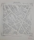
Westminster Pimlico London 1950
Tottenham Middx 1955
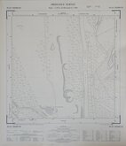
West Herts Golf Club 1960
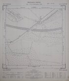
Rickmansworth Herts 1960
Croxley Green Herts 1960
Watford Herts 1960
Croxley Green Herts 1960
Edmonton Middx 1960

£5
Ordnance Survey Ordnance Survey Ref: TQ3489SE
Add to
basket
Thanks,Your Product Has Been Added To Basket
Request
Condition Report
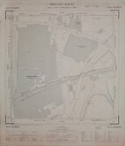
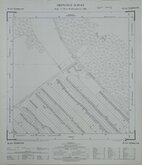
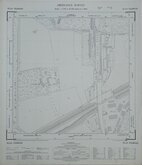
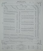
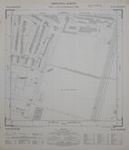
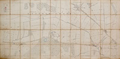
ORDNANCE SURVEY PLAN TQ 3489 SE
Scale: 1:1250 or 50.688 Inches to 1 Mile
Made and published by the Director General of the Ordnance Survey, Chessington, Surrey, 1955.
Showing: River Lea Navigation, River Lea, Coppermill Stream, Ferry Lane, Forest Road, Sports Ground (The Paddock Nature Park), Finsbury Works (now Ferry Lane Primary School, Jarrow Road, Erskine Crescent, Reedham Close), Ferry Lane Wharf (now Bream Close).
Overall toning, some marks and spots, Tape stain verso top edge.
Quick Links

Twenty five inch and 1:2500

Other Large Scales
×