
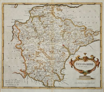
Devon Maps
Cornwall Maps
( Page 2 of 3 )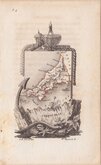
Aristide Perrot 1824
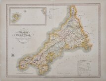
William Ebden 1824 [1835]
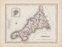
Roger Creighton 1831 [1845]
Robert Scott 1833 [1845]
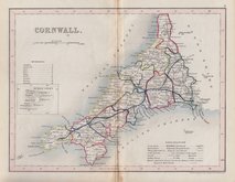
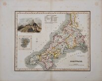
Joshua Archer 1842
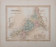
Joshua Archer 1842 [1858]
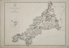
Edward Weller 1859 [1863]
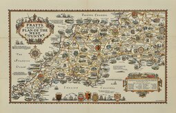
Alfred Taylor Pratts West Country 1932


23x17 cm
ARCHER/DUGDALE. OUTLINE HAND COLOUR.
CORNWALL
Drawn & Engraved by J.Archer, Pentonville, London.
First published in Curiosities of Great Britain, England and Wales Delineated…by Thomas Dugdale by L.Tallis in 1842. The work was re-issued a number of times until 1860. The maps also appeared in The Universal English Dictionary…by the Rev. James Barclay and finally in Tallis's topographical dictionary of England & Wales in 1860.
This example is from the 1842 edition of Dugdales Curiosities in original hand colour. Stain at centrefold.
Quick Links

Sea Charts

England & Wales
×