
South America
Central America & West Indies
( Page 3 of 3 )


32x24 cm
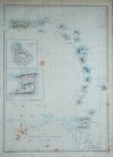
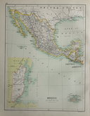
WEST INDIES & CENTRAL AMERICA
The Edinburgh Geographical Establishment
John Bartholomew & Co.
Colour printed map published by T. Nelson in The Imperial Atlas and Gazetteer of the World by J. G. Bartholomew Edinburgh and New York 1892.
Map of Island plans verso.
Quick Links

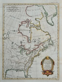
North America

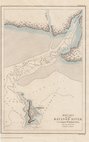
Sea Charts
×