
South America
Central America & West Indies
( Page 2 of 3 )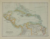
West Indies Central America 1892
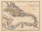
West Indies By Sidney Hall 1826
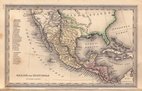
Mexico & Guatemala by Starling 1831
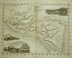
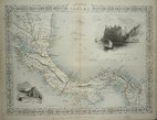
Central America by Tallis 1851
Panama by Tallis 1851
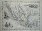
Mexico, California & Texas 1851
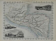
Central America by Tallis 1851
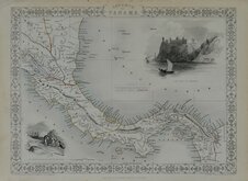
Panama by Tallis 1851


£10 West Indies Central America
Ref: 5998.38
Add to
basket
Thanks,Your Product Has Been Added To Basket

32x24 cm
WEST INDIES & CENTRAL AMERICA
The Edinburgh Geographical Establishment
John Bartholomew & Co.
Colour printed map published by T. Nelson in The Imperial Atlas and Gazetteer of the World by J. G. Bartholomew Edinburgh and New York 1892.
Map of Island plans verso.
Quick Links

North America

Sea Charts
×