
Folding Maps
War Issue Maps
( Page 2 of 14 )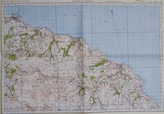
Whitby & Saltburn 1940
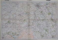
Carlisle 1940
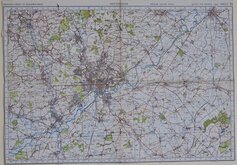
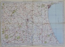
Nottingham 1940
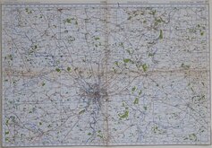
York 1940
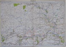
Hexham 1940
Great Driffield & Bridlington 1940
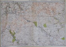
The Cheviot Hills 1940
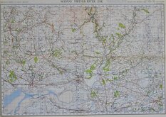
Solway Firth & River Esk 1940


THE WAR IN MAPS ITS BACKGROUND & COURSE
Printed by George Philip & Son Ltd., for the London Geographical Institute.
Oblong 4to (25x19) Paper covers, stapled binding. 32pp.
Title page with list of maps | 31pp full page chromolithograph printed maps and charts of the progress of the war to 1941.
Light spotting and marking to covers. Vertical crease to covers and very light crease to all pages which are all clean and otherwise undamaged. Stapled binding firm, light rust to staples.
Overall a very good copy of this historical document
Quick Links


Ordnance Survey Maps
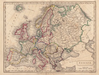
Europe
×