
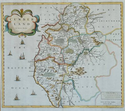
Cumberland Maps
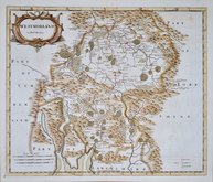
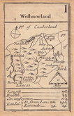
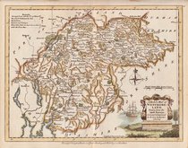
Westmorland Maps
( Page 1 of 4 )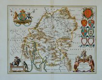
Jan Blaeu 1645
Emanuel Bowen 1720
Emanuel Bowen 1720
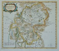
Robert Morden 1722
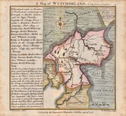
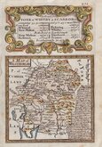
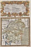
Thomas Badeslade 1741
Robert Morden 1753
Robert Morden 1773
Joseph Ellis 1773


50x39 cm
WESTMORIA | COMITATUS; | Anglice | WESTMORLAND.
Copper engraving published by the Dutch publishing house of Blaeu in their World Atlases from 1645 until 1667. A fire at Blaeu's printing house destoyed most of the plates in 1672 and Jan Blaeu died the following year effectively ending the Blaeu publishing dynasty.
The maps were closely copied from John Speed and the text verso translated into various languages from William Camden's Britannia. The production of the maps was of the highest quality with consistently fine and uniform engraving embellished with decorative title cartouches and armorial bearings, high quality printing from Blaeu's own printing house using the finest quality rag paper and usually completed with hand colouring carried out within Blaeu's own workshops.
Fine example. French text verso.
Quick Links
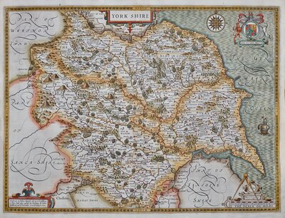
Yorkshire Maps
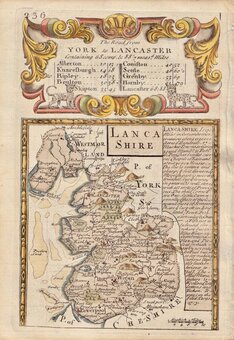
Lancashire Maps
×