
Folding Maps
War Issue Maps
( Page 1 of 14 )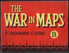
The War in Maps
Barnstaple 1841
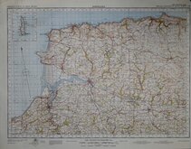
Belgium 1910
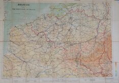
Vosges - Alsace 1918
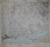
New Forest 1931
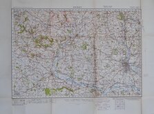
Derby 1932
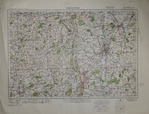
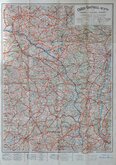
Worcester 1932
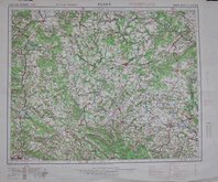
Plzen 1939


100x75 cm
BELGIUM AND THE NORTH EAST OF FRANCE
Geographical Section, General Staff No. 2517
Drawn by G.S.G.S. War Office and photo-Etched at the Ordnance Survey Office, Southampton, 1910.
Scale 1 Inch to 6 Miles.
Segmented and pasted on linen with pasted label; SIFTON, PRAED & CO. LTD. - The Map House - 67, St. James's Street, LONDON. S.W.
A large map in very good condition.
Quick Links


Ordnance Survey Maps
Europe
×