
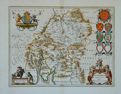
Westmorland Maps
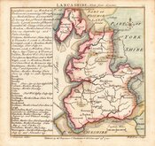
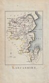
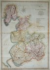
Lancashire Maps
( Page 1 of 3 )
Emanuel Bowen 1720
Thomas Badeslade 1741
Thomas Kitchin 1763
Thomas Kitchin 1786
Benjamin Baker 1793
Robert Butters 1803
John Cary 1805
John Cary 1808


41x51 cm
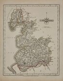
MAP of the County Palatine OF Lancaster. with the LATEST IMPROVEMENTS.
Engraved, 1824, for "BAINES' LANCASHIRE".
T.Wilson, Surveyor. | Engraved by Franks & Johnson.
Published by W.Wales & C.o Castle Street, Liverpool.
Copper engraving by James Henry Franks (fl.1820-1852 d.1857) from a survey by T. Wilson issued with the History of Lancashire by Edward Baines published 1824 & 1836. James Henry Franks traded as "Franks & Johnson" with Freerick John Johnson (fl.1824-1833) from about 1824 to 1833. Both were in Wakefield prison for debt in 1833.
A scarce, large and detailed map, finely engraved with cartouche of Liverpool from Rock Ferry. Folds as usual. Repair with matching paper to lower half of left margin and decorative border where poorly cropped for binding with matching paper with loss to the decorative border. Despite these faults it remains a very good looking map in fine hand colour.
Quick Links
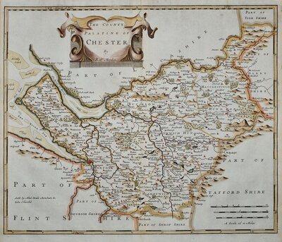
Cheshire Maps
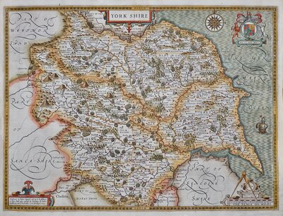
Yorkshire Maps
×