
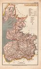
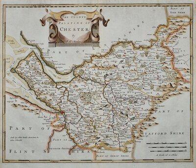
Cheshire Maps
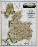
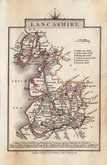
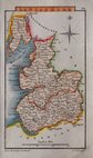
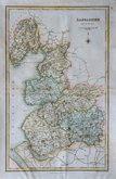
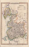
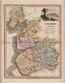
Lancashire Maps
( Page 2 of 3 )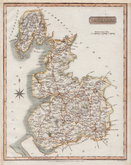
Samuel Neele 1818
James Franks 1824
George & John Cary 1824
Henry Cooper 1825
Sidney Hall 1834
J & C Walker 1836
James Pigot 1839
Robert Scott 1840


20x25 cm
Drawn and engraved by Samuel John Neele.
Based on John Cary's 'quarto' map of 1793.
Published by J. Robins in The New British Traveller; or, modern panorama of England and Wales..by James Dugdale.
Stitch holes left margin reinforced verso archival paper. Top edge trimmed close to printed border re-margined in matching paper. Fine hand colour.
Quick Links
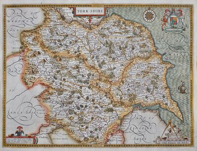
Yorkshire Maps
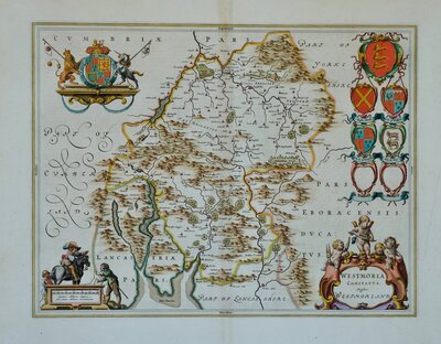
Westmorland Maps
×