
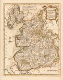
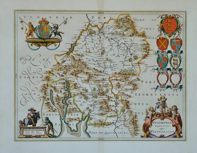
Westmorland Maps
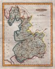
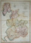
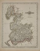
Lancashire Maps
( Page 1 of 3 )
Emanuel Bowen 1720
Thomas Badeslade 1741
Thomas Kitchin 1763
Thomas Kitchin 1786
Benjamin Baker 1793
Robert Butters 1803
John Cary 1805
John Cary 1808


11x18 cm
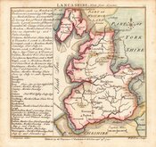
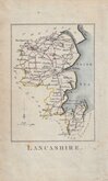
LANCASHIRE
Published by G & W.B.Whittaker, 13. Ave Maria Lane. 1824.
Copper engraving by Henry Cooper first published in A Topographical Dictionary...by Benjamin Pitts Capper Esq. by Richard Philips in 1808.
This example, with the signature erased, amended publisher imprint and changes to the statistical information, was published in a work of similar title by George B. Whitaker in 1825 & 1826, by Sir Richard Philips in 1829 & 1834 and finally by Whitaker & Co. in 1839.
Quick Links
Yorkshire Maps
Cheshire Maps
×