
Regional Maps
Folding Maps
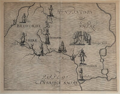
( Page 4 of 18 )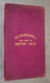
Richardsons British Isles 1910
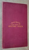
Bacons British Isles 1910
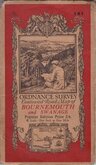
O.S. Bournemouth Swanage 1919
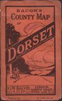
Bacon's Dorset 1920
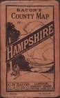
Bacon's Hampshire 1920
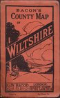
Bacon's Wiltshire 1920
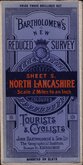
Bartholomew North Lancashire 1920
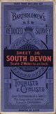
Bartholomew South Devon 1920


£50 Richardsons British Isles
Ref: 6471wt
Add to
basket
Thanks,Your Product Has Been Added To Basket

94x124 cm
RICHARDSON'S NEW MAP OF THE BRITISH ISLES
RICHARDSON (PUBLISHERS) LIMITED. DUBLIN, AND AT MANCHESTER, EDINBURGH AND LONDON.
COPYRIGHT | "GEOGRAPHIA" L.TD 33 STRAND, LONDON. W.C.
Large lithograph colour printed folding map in two linen backed sheets attached to burgundy cloth covers. Each sheet in nine sections opening to 94x62cm. giving an overall map size of 94x124cm.
Map surrounded by over 25 charts and tables including Distance Tables, Motor Speed Limits, Motor Index Marks, Letter times from London, Foreign Parcel and Telegram rates. Inset maps of the World showing Wireless stations and Steamship routes, British Isles Orographical and British Isles Economics.
Map is undated but table of Ad Valorem Stamp Duties is according to Finance Act of 1910.
Archival tape reinforcement to corner joints verso which are showing a little wear but otherwise the map is in very good condition. Giilt titled burgundy cloth wallet 33x21cm o/all with some wear to spine and board edges but holding firm.
Quick Links

English Counties

Ordnance Survey Maps
×