
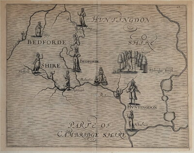
Regional Maps
Folding Maps
( Page 1 of 18 )
Bowles. England & Wales. 1811

Thomas Dix Derbyshire. 1818

Thomas Dix. Yorkshire. 1820

Hebner & Phillips. South East 1821

Henry Teesdale Yorkshire 1828
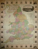
Robert Seaton. England & Wales 1838

Hobson's Yorkshire 1843

Stephen Glover 1845


73x52 cm
ORDNANCE SURVEY OF ENGLAND (Third Edition) WEYMOUTH (Large Sheet Series) SHEET 143
Published at the Ordnance Survey Office Southampton 1908.
Sold by Sifton Praed & Co. Ltd. The Map House 67 St. James's Street London S.W.
Scale: 1 inch = 1 mile.
Extent: Puddletown to Portland Bill and Askerswell to Wareham.
Paper printed map segmented and pasted on linen. Paper covers, paper label to front, plain back.
Good condition. 'Weymouth' in ink manuscript to front cover.
Quick Links

English Counties

Ordnance Survey Maps
×