
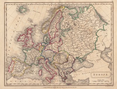
Whole of Europe
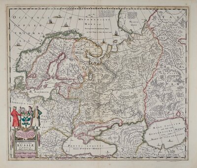
Eastern Europe & Turkey
( Page 3 of 8 )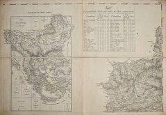
Balkans and Transylvania 1829
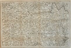
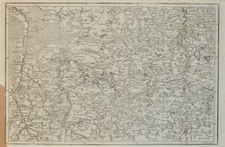
Louny Czechia by Gibson 1760
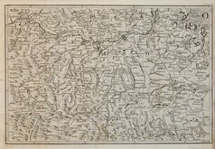
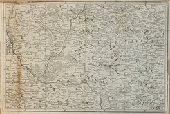
Otmuchow Nyasa Poland 1762
Wiazow Poland 1762
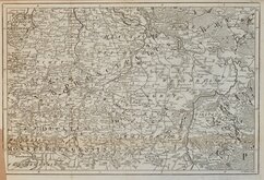
Nymburk Czechnia 1762
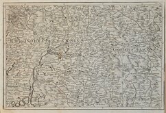
Hradec Kralove Czechnia 1762
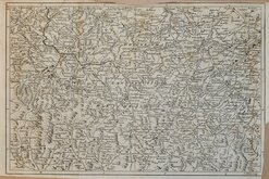
Kamienna Gora Poland 1762
Legnica Poland 1762


65x45 cm
Part of a large folding wall map of the Balkans produced by Austrian cartographer Franz von Weiss (1791-1858).
Sheet 2 of this 21 sheet wall map with the key map showing Greece, Albania, Montenegro, Bosnia and Herzegovina, Serbia, Kosovo, North Macedonia, Bulgaria, Moldova, and part of Romania with the enlarged section showing Transylvania in Romania.
The map was produced in the same year as the Treaty of Adrianople concluding the Russo-Turkish War of 1828-29 and the formation of Modern Greece.
In four sections, folding and pasted on linen.
Quick Links

Mediterranean
Asia
×