
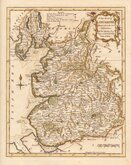
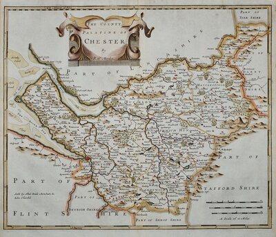
Cheshire Maps
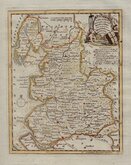
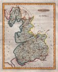
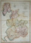
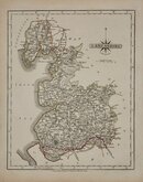
Lancashire Maps
( Page 1 of 3 )
Emanuel Bowen 1720
Thomas Badeslade 1741
Thomas Kitchin 1763
Thomas Kitchin 1786
Benjamin Baker 1793
Robert Butters 1803
John Cary 1805
John Cary 1808


7x12 cm
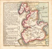
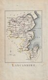
LANCASHIRE
Pub. by M.A.Leigh 421 Strand. | Sid.y Hall sculp.t
Miniature map engraved by Sidney Hall and first published in Leigh's New Pocket Atlas of England and Wales in 1820. The little atlas was popular running to ten editions until the final editions in 1842 & 3 published by George Biggs.
Good hand coloured example from the 1834 edition with Leigh's new address at 421 Strand and published by his widow, Mary Ann, after the reform bill and including the county division shown on the map.
SPECIAL OFFER MOUNT OPTION AVAILABLE ON THIS ITEM AT CHECKOUT FOR UK CUSTOMERS.
Quick Links
Westmorland Maps
Yorkshire Maps
×