
Historical Maps
Far East & India
( Page 1 of 5 )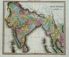
East Indies - Thomson 1820
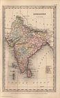
India - Starling 1831
Malaysia - Starling 1831
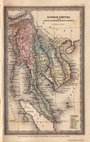
China & Japan - Starling 1831
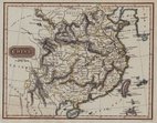
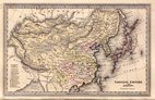
China - Findlay 1835
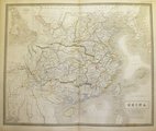
China - Johnston 1843
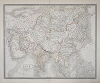
Asia Johnston 1843
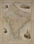
British India - Tallis 1850


24x18 cm
Pakistan, India, Bangladesh, Myanmar / Burma & Sri Lanka. Drawn and engraved by Thomson.
Published in Walkers New Atlas.
Copper engraving in good condition with good original hand colour.
Quick Links


Eastern Europe & Turkey

Asia
×